App: A bike map and guide for Chicagoland
Consider this: You like to use the Chicago Bike Map but you don't always carry it with you. You want to be reminded of where the bike lanes and trail access points are. But you do carry your smartphone with you, all the time.
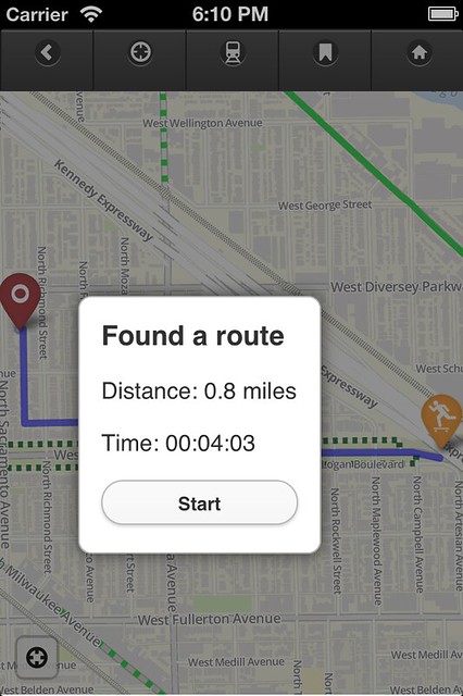
In April 2012 I launched my first-ever app, the Chicago Bike Guide. It works similarly to the "Chicago Bike Map" (the City's printed one) in that it shows the presence of on-street bike lanes, multi-use trails, and train stations. It works like Google Maps, though, where you can pinch and zoom to interact with the map.
Divvy, train stations, directions, The Chainlink, Twitter, points of interest, it's all right here.
Available for Android and iOS.
Views: 3849
Replies to This Discussion
-
Permalink Reply by Joza 7 miles on
-
Downloading now.
-
Permalink Reply by Steven Vance on
-
@Joza: Thanks
@Shawn & Anne: I'm fixing the bugs today; I'll probably start work on the Android version tomorrow. It will probably take about two weeks to enter the Android marketplace, er, Google Play.
-
Permalink Reply by Brendan Kevenides on
-
Nice Steve. I'm downloading now.
-
Permalink Reply by Kevin C Dormant on
-
Downloaded yesterday. Like it.
-
-
You and about 10 other people now!
y a j said:I'm on the Android waiting list. This is a great idea!
-
-
The map tiles cover about 1/2 mile beyond the Chicago city limits, and only Chicago bikeways are mapped.
The app takes up over 150 MB of data on the phone (which isn't an issue as most people have gigs remaining). Any more coverage and that starts ballooning. The data size increases exponentially for every additional level of zoom. The max zoom is z16 on the app, with z18 being the maximum I could have built.
Cameron Puetz said:Waiting for the Android version. Just curious, how big of area does it cover? Is it just the city or does it include some suburbs?
-
-
Thanks for pointing out the bugs. I'm fixing them now. The next release, v0.3, will be strictly a maintenance release and offer no new features or design changes (except for a slight tweak to zoomed out levels of the map). A maintenance release also means making sure the bikeways are up to date. Since the release, the Elston Avenue bike lane is mostly complete, and the 55th Street bike lane and road diet is almost complete, so those are both in the map.
Brendan Kevenides said:Nice Steve. I'm downloading now.
-
Permalink Reply by Julie Aberman (Hochstadter) on
-
Gapers block featured a new CTA app that is empowering others to help with the research and is using kickstarter to find them and fund the work at the same time. - http://gapersblock.com/ac/2012/07/09/designers-kickstarting-a-cta-a...
Groups
-
Critical Mass discussion
262 members
-
Chicagoland Beer Explora…
203 members
-
Chicago Randonneurs
269 members
-
Walk Bike Transit
63 members
-
British Bicycles of Chic…
172 members
© 2008-2016 The Chainlink Community, L.L.C.
Powered by
![]()